Nine months ago I wrote about a mapping workshop at the Boston Public Library.
That was before the pandemic, even if it feels like the pandemic has been going on for a couple of years now. Why, you may ask, is that relevant? Is it because the Atlascope software doesn’t work right in a Zoom-like environment? No, it actually works just as well as it does in a traditional classroom with a projector.
So what does the pandemic have to do with it in that case? Well, here’s the context:
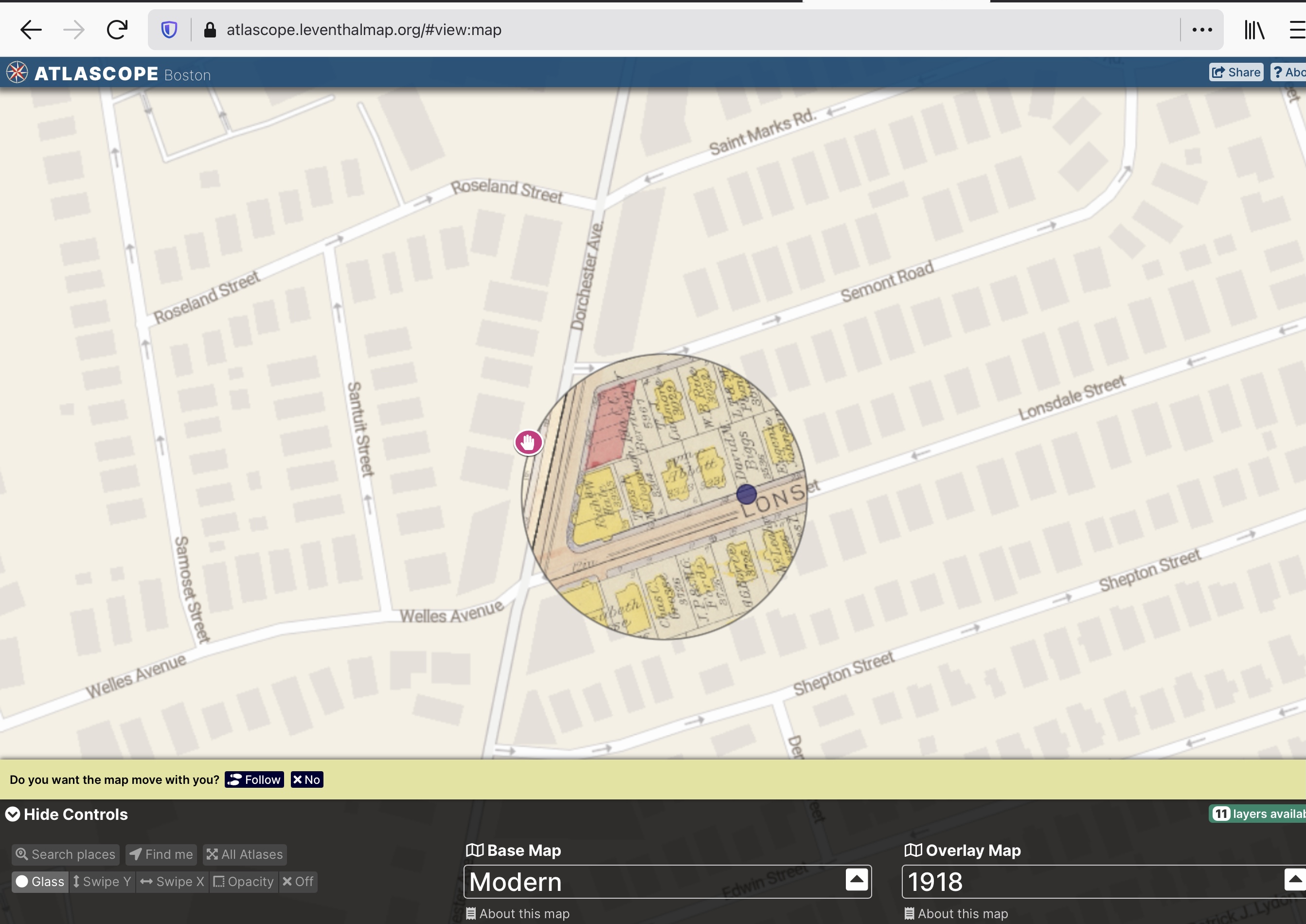
The other day Barbara and I “participated” in a long-postponed workshop on the history of the Fields Corner neighborhood as revealed through Atlascope. While we certainly learned a lot about the neighborhood (just north of where we live), the workshop was disappointing from my point of view as a teacher. It reminded me too much of my first attempt at teaching remotely — but this wasn’t their first rodeo. The presenter seemed unprepared, partly in terms of their knowledge of the neighborhood but mostly in terms of how to structure and deliver a remote lesson. Yes, of course I know that it isn’t easy, so I’m sympathetic — but shouldn’t the BPL have given a more polished workshop? My guess is that one of two things happened: either someone else was supposed to present, or they simply took the lesson plan that had been intended for a live workshop and shoe-horned it into the remote format. (You can’t do that!) It also didn’t help that the presenter never modulated their voice. Check it out; feel free to disagree with me!
This of course was a good object lesson for me: as I’ve said before, I now know from podcasts and television shows that it helps enormously to have (at least) two presenters, so they can converse with each other and present two different points of view or at least two different voices. I will take that to heart, as I’ve written before.
Categories: Dorchester/Boston, Teaching & Learning, Technology
